Test page for Environment Due Diligence
Assessing potential risk of contamination
Terraphase provides its clients with real estate portfolio and individual site management services, including Phase I and Phase II site assessment services. Terraphase completes non-invasive Phase I Environmental Assessments following standards of the American Society for Testing and Materials (ASTM) Standard Practices for Phase I Environmental Assessments and EPA’s All Appropriate Inquiries rule. Terraphase works on behalf of all parties in real estate transactions, including buyers, sellers and lenders. Terraphase provides these services to help its clients make informed decisions regarding real estate they currently own or are assessing for potential purchase. As part of our due diligence efforts, we use historical aerial photogrammetry to prepare maps of historical areas of potential environmental concern. Our due diligence experts are experienced geologists and engineers who understand the signs of potential impacts from a wide range of historical industrial activities. Terraphase Phase I reports are reviewed by a licensed Professional Engineer or Professional Geologist.Project Descriptions
Key Elements
- Geographic Information Systems
- FAA Part 107 Licensed Staff
- Pix4D
Benefits
- High resolution real-time imagery
- Cross physical barriers, dense vegetation, wetlands and natural hazards
- Tens of thousands of acres in a single day
- Photogrammetry
- Digital elevation models and georeferenced orthomosaics
Challenge
Phase 1 ESAs may be difficult in situations where Environmental professionals have limited access, due to either the size or condition of the subject property. In addition, finding historical aerials younger than several months old is not often possible.
Solution
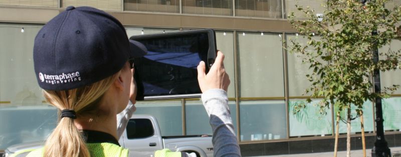
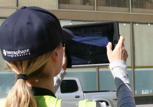
Terraphase has cost effectively deployed unmanned aerial systems (UAS), aka “drones” in this situation. A UAS flight provides a high-resolution current “bird’s eye views” of the property as well as video footage, as the drone can be flown into areas over physical barriers to vehicular or pedestrian access, dense vegetation, wetlands and natural hazards. Fixed-wing drones can cover tens of thousands of acres in a matter of hours. Quad-copter drones can easily cover smaller areas and more adeptly navigate certain features. Using drone outputs of several thousand small overlapping geotagged images, application of photogrammetry permits the construction of both 2D and 3D maps, digital elevation models and georeferenced orthomosaics that are then used in our Geographic Information Systems (GIS) as geotagged imagery for report figures.
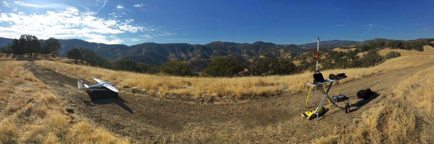
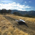
Launch site for fixed-wing drone flight over 20,000 acre site with rugged terrain in support of Phase I ESA
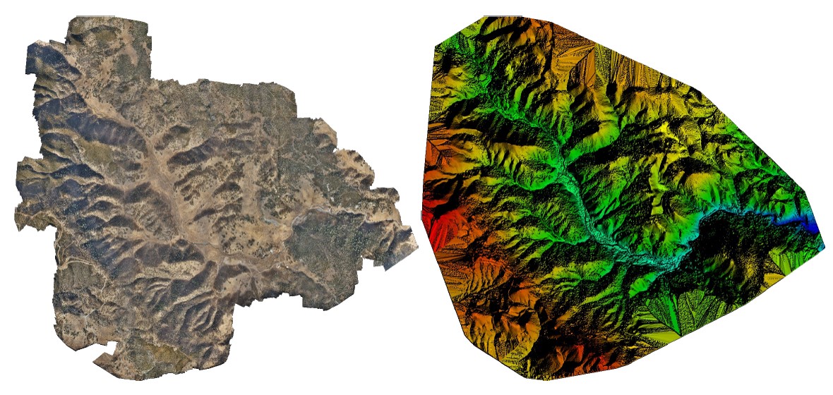
Orthomosaic and the Digital Surface Model(DSM) processing previews
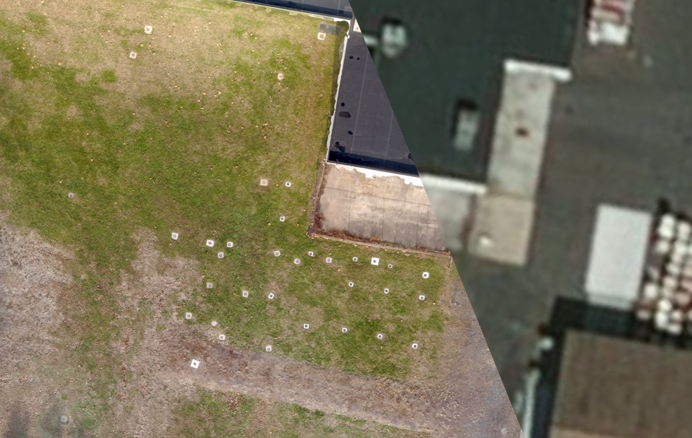
Side by side comparison of stock imagery compared to high resolution drone imagery of a site showing well pads that were part of a groundwater investigation